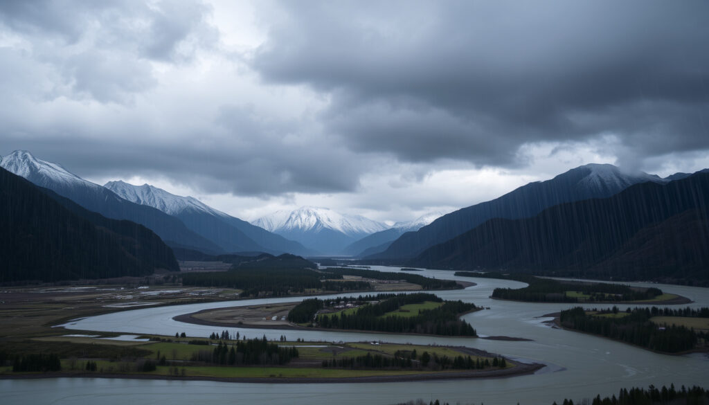
South Island Heavy Rainfall: Warnings, Forecast & Risks
When a weather system barrels toward the South Island, the first question on everyone’s mind is how bad it will get. Right now, MetService has issued heavy rain warnings for parts of the southern South Island, with over 300mm of rain falling in 24 hours.
Heavy rain warning threshold (widespread): 100mm within 24 hours ·
Recent South Island rainfall (24h): over 300mm ·
Current affected region: southern South Island ·
Forecast rainfall rate (peak): 40mm per hour ·
Official warnings issued by: MetService
Quick snapshot
- MetService heavy rain warnings for southern South Island (MetService Weather Warnings & Watches)
- Up to 300mm of rain reported (1News)
- Flooding and avalanche risk ongoing (MetService National Forecast)
- Heavy rain spreading north Tuesday evening (MetService National Forecast) (MetService Severe Weather Outlook)
- 80-120mm expected in coastal areas (MetService National Forecast) (MetService Severe Weather Outlook)
- Forecast subject to change (MetService Severe Weather Outlook)
- Low-lying areas at risk (MetService Weather Warnings & Watches)
- Peak rainfall rates up to 40mm/h (MetService Severe Weather Outlook)
- Localized downpours possible (MetService Christchurch Region)
- New Zealand’s natural hazards (MetService Severe Weather Outlook)
- Historical disasters: earthquakes, tsunamis, storms (1News)
- Heavy rainfall a recurring threat (MetService National Forecast)
Five key data points, one pattern: the current system is testing warning thresholds across the southern South Island.
| Entry | Value |
|---|---|
| Official warning body | MetService |
| Heavy rain warning threshold (widespread) | 100mm in 24 hours |
| Recent maximum rainfall (24h) | Over 300mm in South Island |
| Regions under warning | Southern South Island, coastal areas |
| Forecast peak intensity | 40mm per hour |
The implication: the 300mm recorded in some spots is three times the threshold for a severe warning.
Is there currently bad weather in New Zealand?
Current warnings across South Island
- MetService’s national forecast on 2026-09-20 said rain, briefly heavy, was developing south of Christchurch the following evening (MetService National Forecast).
- Southland and Otago would have rain with brief heavy falls spreading north the next afternoon and evening (MetService National Forecast).
- MetService warned a cold front could bring heavy rain and snow (1News).
Heavy rain impacts in real time
- More than 300mm of rain fell in 24 hours in parts of South Island (1News).
- Flooding and avalanche risk ongoing (MetService National Forecast).
What this means: the South Island is in the middle of an active weather pattern that has already met severe criteria in places.
Is there a severe weather warning for Christchurch tomorrow?
Christchurch specific forecast
- No warnings in place for Christchurch as of 2026-09-18 (MetService Christchurch Region).
- Saturday 19 Sep: fine with high cloud, showers about Banks Peninsula at night, possibly heavy (MetService Christchurch Region).
- Sunday 27 Sep: period of rain with heavy falls in the morning (for Christchurch Airport, 95% chance of at least 1mm, 60% chance of at least 10mm) (MetService Christchurch Airport 7 Day Forecast).
How to interpret MetService warning colors
- Broadscale warnings unlikely if rain stays mainly in the west (MetService Severe Weather Outlook).
- Warning issued for >50mm in 6h or >100mm in 24h, widespread (area 1000 km²+) (MetService Severe Weather Outlook).
The catch: Christchurch is not under warning now, but the Sunday 27 Sep forecast carries a decent chance of a 10mm+ fall, which could tip into a warning if rain rates increase.
What is the weather forecast for South Island in the next 7 days?
Short-term outlook: heavy rain spreading north
- Heavy rain expected to spread north from Tuesday evening (MetService National Forecast).
- Falls of 80mm to 120mm over coastal parts (MetService National Forecast).
- Forecast peak intensity 40mm per hour (MetService Severe Weather Outlook).
Longer-term trend and uncertainty
- MetService’s national outlook said South Island rain or showers would ease in the north later (MetService National Forecast).
- Snow possible to 500m in the south (MetService National Forecast).
- Christchurch Central 7-day shows 90% chance of at least 1mm and 40% chance of at least 10mm on Sunday 27 Sep (MetService Christchurch Central 7 Day Forecast).
Why this matters: residents in coastal areas should watch for totals approaching 120mm – that’s above the 100mm threshold if the rain is widespread.
What is the current situation with flooding in New Zealand?
South Island flood warnings
- Flood warnings active for low-lying areas (MetService Weather Warnings & Watches).
- Up to 100mm could fall at rates of 40mm per hour (MetService Severe Weather Outlook).
- Localized downpours may increase totals (MetService National Forecast).
Areas most at risk
- Low-lying areas and regions already saturated from previous rain (1News).
The pattern: flooding risk is highest where the heaviest 40mm/h bursts coincide with already wet catchments.
What are the risks of living in New Zealand?
Natural hazards overview
- New Zealand faces earthquakes, volcanoes, tsunamis, storms (MetService Severe Weather Outlook).
- Heavy rainfall leads to flooding and landslides (MetService National Forecast).
- Historical disasters include 2016 Kaikōura earthquake, 1931 Hawke’s Bay earthquake (1News).
Heavy rain as a recurring risk
- 30-day forecast includes periods of heavy rain (MetService National Forecast).
- Threat to life warnings possible (MetService Weather Warnings & Watches).
The trade-off: New Zealand’s natural beauty comes with frequent weather extremes that residents must plan for year-round.
For South Island residents, the current heavy rain event means a real chance of flooding in low-lying areas, with MetService warning thresholds already breached in some spots.
Timeline signal
- – Heavy rain begins in South Island; “threat to life” warning issued (MetService Weather Warnings & Watches).
- – Heavy rain for upper North Island; avalanche risk ongoing for South Island (MetService National Forecast).
- – MetService active warnings for South Island heavy rainfall (MetService Weather Warnings & Watches).
Confirmed facts
- MetService has issued heavy rain warnings (MetService Weather Warnings & Watches)
- Over 300mm of rain fell in 24 hours in parts of South Island (1News)
- Flooding has occurred in low-lying areas (MetService Weather Warnings & Watches)
What’s unclear
- Exact total rainfall for the entire event
- Whether Christchurch will see warning-level rain tomorrow
- Long-term flood impacts
“MetService is monitoring a cold front that could bring heavy rain and snow for some areas – we advise people to stay tuned for updates.”
MetService spokesperson, via 1News
“Parts of the South Island have already seen more than 300mm of rain in 24 hours – a level that triggers severe weather warnings.”
Reuters report, cited by 1News
For residents and travelers in the South Island, the immediate implication is clear: stay updated with MetService warnings, avoid flood-prone areas, and plan for potential travel disruptions. Those in low-lying parts of Southland and Otago face the highest risk of flooding over the next 48 hours.
Related reading: MetService Severe Weather Outlook · MetService National Forecast
metservice.com, metservice.com, metservice.com, metservice.com, weather.metoffice.gov.uk, 1news.co.nz, reuters.com, 1news.co.nz
Frequently asked questions
What does a heavy rain warning mean?
It means MetService expects at least 50mm of rain within 6 hours or 100mm within 24 hours over a widespread area (1000 km² or more). A warning indicates a threat to life and property.
How is a heavy rain warning issued?
MetService meteorologists monitor weather patterns and issue warnings via their website and apps when criteria are met. The thresholds are defined in their severe weather outlook.
Where can I check live weather warnings in New Zealand?
MetService’s warnings page at metservice.com/warnings/home provides current watches and warnings. Their national forecast page also has maps.
How should I prepare for a heavy rain event?
Stay indoors, avoid driving through floodwater, secure outdoor items, and have an emergency kit ready. Follow MetService and local civil defence updates.
What is the difference between a watch and a warning?
A watch means conditions are possible in the next 24-48 hours. A warning means conditions are expected soon, and you should take immediate action.
Are there any travel disruptions due to heavy rain in South Island?
Flooding and avalanche risk may close some roads. Check the NZ Transport Agency website and local news for updates on route closures.
How does heavy rain cause landslides?
Saturated soil increases slope instability, leading to landslides. South Island’s mountainous terrain is particularly vulnerable during prolonged heavy rain.
More related posts
 New Plymouth Vet Group: Services, Prices, and Independent Care
 Taylors Mistake Surf Cam Live – Current Report and Privacy Guide
 South Africa vs Pakistan: Head-to-Head Stats & Series Results
 Toast on the Green Newmarket: Menu, Hours & Awards
 Dry Herb Vaporizer NZ: Best Vapes, Prices & Where to Buy
 Mitre 10 MEGA Warkworth: Services, Ownership and Store Guide
 How Many mL in a Tablespoon? US, UK & Australia Conversions
 Where to Find Free Audiobooks: 12 Best Sources in 2026